6. Protected Lands Around Merrymeeting bay: Current 2012

7. ME Dep't Inland Fish & Game, Game Division Leaflet Series, Merrymeeting Bay - Maine's Waterfowl Haven, Vol. 1, No. 1; June 1957. (PDF download)

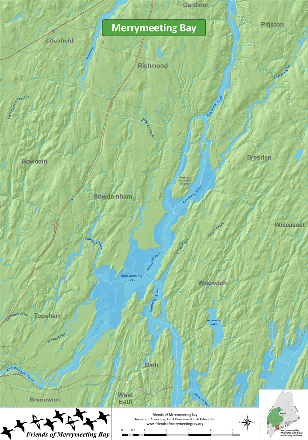
8. Merrymeeting Bay
9. American Eel Distribution and Dam Locations in Merrymeeting Bay Watershed

10. Kennebec Ice Map 1891

11. Merrymeeting Bay Composite High Value Habitats-USFWS Gulf of Maine Project 1994

12. NOAA Chart Segment: Most of Middle & Lower Sections Merrymeeting Bay